There is a great
deal of academic research being conducted into how and when
Aboriginal people arrived in Australia. The one be assumption is
that people arrived when sea levels were at their lowest, to as much
as 130 m below present levels during glacial periods. Lower sea
levels reduced the gaps between land masses and are thought to have
made island hopping much easier. At these times, all of the coral
reefs we know today would have been on land. The Great Barrier Reef
was a chain of limestone hills. All of this was only 10000 years
ago. This transformation between terrestrial ecosystem into marine
fires the imagination. What would it have been like to wander in a
landscape where coral reefs were hills? There places on earth where
it is possible to do so today. One of those places is the coast of
Papua New Guinea.
On
the southern coast of PNG, at a place called Bluff, which is in Gulf
Province near Kerema there are a few uplifted coral reefs which are
morphologically similar to the reefs of the present day Great Barrier
Reef. The headland of
Bluff is one such old coral reef. It is formed of dense coral rock where
the detail of the polyps has been lost. Caverns run through the
headland.
 |
| This headland has a legend about a battle between a hunter and boar. |
 |
| One of the caverns which face the sea and are partially filled at high tide |
 |
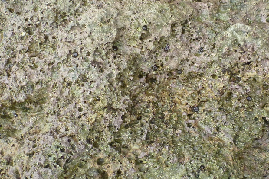
| Not much detail in the rock, mainly live embedded sea anemones |
To the north of
Bluff is a low linear plateau with coral reef and rubble slopes on
its southern end. Gulf Province is a land of large rivers that pump
out stupendous quantities of sand and mud and looking now, I think
the plateau is formed mainly from mud stone or argillite with a
veneer of coral.
 |
| Waterfall from top of plateau, which is only about 20 m high. |
Gulf Province has
about 9 m of rain each year and the land is sparsely settled area of
swamps and heavy jungle. The plateau is the only raised land for
several kilometres. No-one lived there although springs on the side
of the hill did provide drinking water for local villagers.
 |
| Waterfront at Kerema 2012, plateau visible in background |
The southern end of
the plateau has sides covered with coral rubble which often has well
preserved polyps.
 |
| Coral colonies are clear visible |
 |
| Coral rubble from beside drinking water spring |
 |
| Ancient coral colonies become boulders on the beach. |
On the western face
of the plateau are some small caves and grottos. After squeezing
into one grotto, I found that I was less than a metre from a rather
deadly looking snake. I later identified it as a viper boa and not a
viper. Viper boas are a type of boa, like a python but as they have
live young are a boa and not a python.
 |
| Entrance to a grotto which opens up inside |
 |
| A viper boa was inside (Candoia aspera) |
Also in caves were
enormous cave crickets. They were lined up on the ledges and scurried around when I got close.
The limestone nature
of the hills was clear from the cave features such as shawls that
were developing in larger caverns.


No comments:
Post a Comment